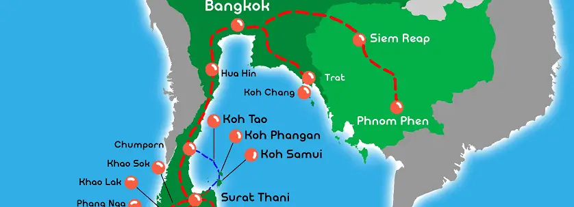
Are you wondering where is Koh Tao on the map? Where the island is in Thailand? Where is the location in regards to Asia and the rest of the world?
Researching where Koh Tao is, its location, and the island’s many beautiful geographic features and natural attractions is a must before your trip. This small island, whose name means Turtle Island, is part of the Chumphon Archipelago located in southern Thailand.
Where Is Koh Tao On The Map in Thailand, Island Location & Information
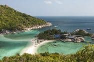
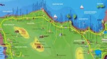
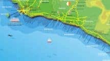
The coastline of the island features ten capes and 11 bays and is a total of 28.6km in length. Most of the island is covered in mountain and jungle, and around 30% of it is comprised of flat land.
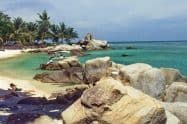
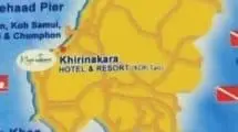
There are three main villages here: on the west coast, Sairee and Mae Haad, and in the south, Chalok Baan Kao. When you research where is Koh Tao, you’ll also see that the eastern part of the island is filled with steep and rocky cliffs. The highest point here is 374 meters.
One of the best features of this island is its favourable climate, which makes it a great destination all year round. Even if one of its coasts is windy, there will always be another part of the island where the winds and waters are calmer.
Although conditions change all the time, the monsoon usually occurs at the end of November and lasts for a few weeks. High tide is from October to March, which is ideal for snorkelling; while the low tide is from April to September.
Depending on the kind of beach activities you’d like to enjoy here, it’s best to organize your trip based on the tide conditions.











Do You Have a Question to Ask?